Brown and Baker creeks in poor health, report finds
If the watershed was a patient, a doctor might advise it to start taking better care of itself.
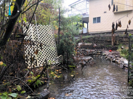
Brown and Baker creeks were found to have “poor watershed health” and “poor water quality,” according to a study conducted by consulting engineers Kerr Wood Leidal. The study is intended to assist Port Coquitlam as the city crafts a plan intended to aid ecology and lessen the flooding risk the southern portion of the city.
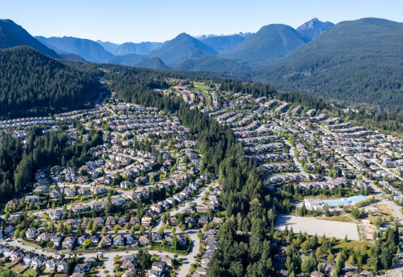
This particular Integrated Watershed Management Plan covers approximately 650 hectares bounded by the Canadian Pacific Railyard to the northeast, Pitt River to the southeast, Fraser River to the south, and the high ground of Mary Hill to the west, according to a city staff report.
Local news that matters to you
No one covers the Tri-Cities like we do. But we need your help to keep our community journalism sustainable.
The area is located with the “core territory” of the Kwikwetlem First Nation, the report stated, noting KFN is set to be involved in the plan’s implementation.
Overall, the biological condition of Brown and Baker was rated “very poor,” according to the report. The biological condition of the waterways is based on the type and variety of invertebrates found around the bottom of the creek.
That lack of benthic invertebrates suggests the watersheds are: “heavily urbanized and impacted,” according to the report.
The report also found elevated concentrations of copper and zinc in several samples, which are common in urban runoff, the report noted. The report recommended further investigations to find the sources of contamination.
However, despite poor water quality including high bacteria concentrations in Brown Creek, both creeks teem with life. Coho, chum, trout, as well as prickly sculpin and three-spined stickleback are regularly spotted in both Brown and Baker creeks.
Outside the creek, the forest cover was generally lacking, with 38 percent cover in Brown Creek and 19 percent in Baker.
“This falls well below the recommended target to maintain at least 50 percent watershed forest cover,” the report noted.
While both creeks have some good rearing habitat, they also offer a perilous path for fish, with sedimentation and blockages that can prevent passage. Those blockages can also pose flooding risks.
One of the aims of the plan is to preserve watershed health while facilitating growth, the staff report stated.
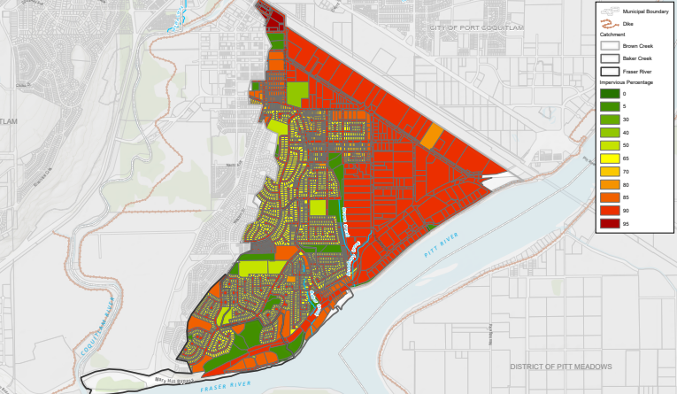
The southern section of the city is fairly water resistant, with slightly more than 60 percent of the area classified as impervious. The impervious area around Brown Creek is expected to expand from 63 to 68 percent.
Flood risk
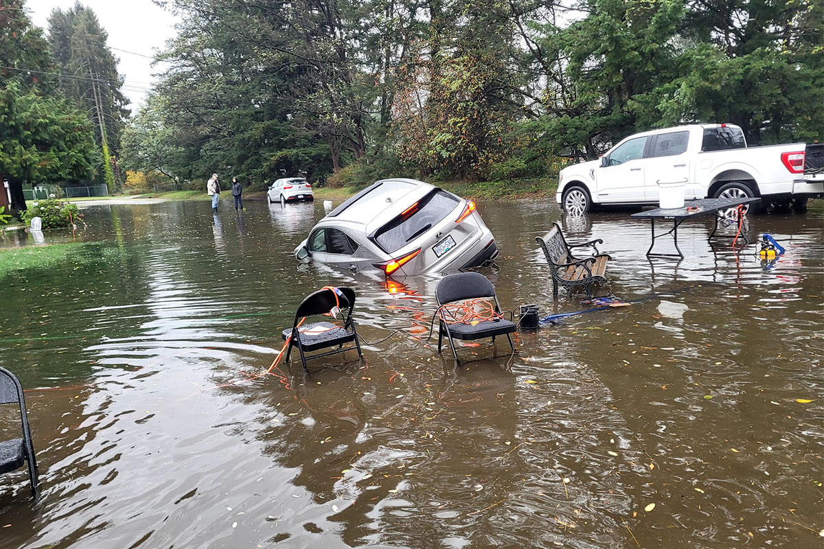
A major rainfall is predicted to trigger “significant flooding” in the lowland area due in part to undersized pipes and insufficient pumping capacity, according to the report.
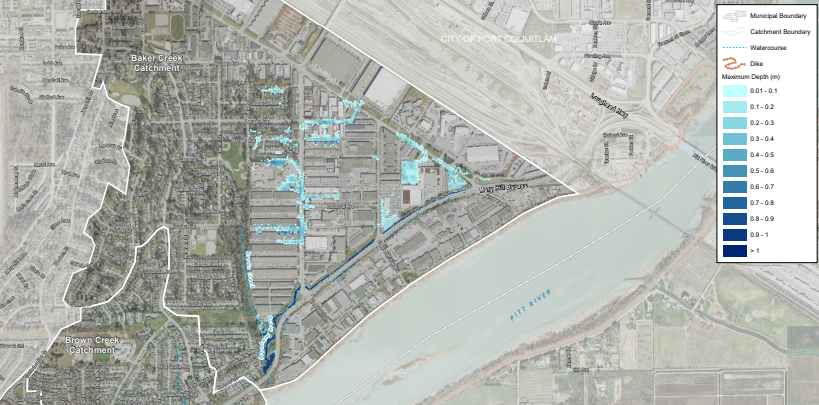
Port Coquitlam has five pumps at three stations. However, a 1940s-era pump at Pitt River is dilapidated and “at the end of its life,” while another is showing signs of deterioration.
Approximately 35 percent of pipes and culverts don’t meet the city’s level of service requirements, the report stated.
Upgrading mains and culverts that are likely to flood could cost the city approximately $41.5 million, the report estimated.
The watershed report is set to be referred to the city’s capital planning process.
Port Coquitlam is also set to draft plans for the northern and western sections of the city.
Author