Port Moody charts a path forward with 30-year Trail Network Plan
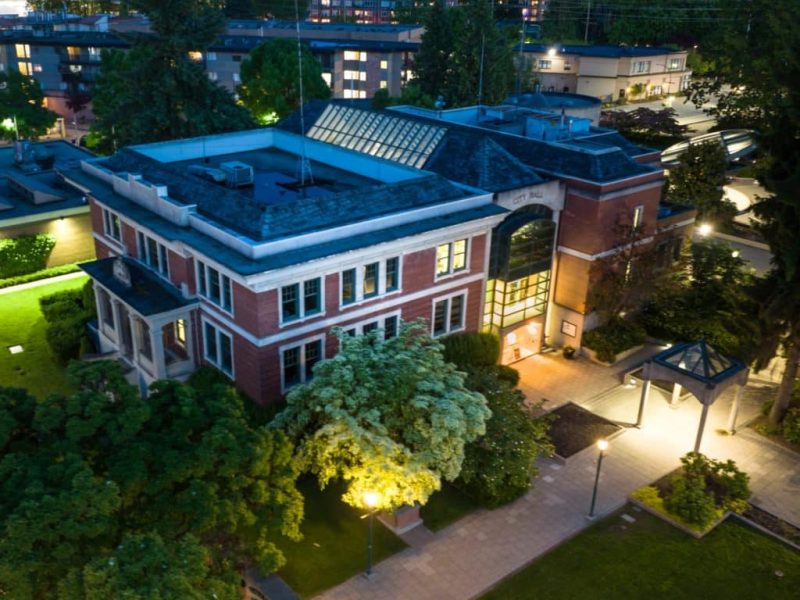
Port Moody council has endorsed a new strategy to shape the future of the city’s most beloved public amenity – its trail system.
On Sept. 9, council unanimously adopted its Trail Network Plan, a 30-year roadmap to guide how the city manages, expands, and protects more than 60 kilometres of trails winding through parks, green spaces, and urban corridors.
Coun. Haven Lurbiecki praised staff’s work, noting that the adoption of the plan coincides with the recently adopted Parkland Strategy.
Local news that matters to you
No one covers the Tri-Cities like we do. But we need your help to keep our community journalism sustainable.
“If our parks are our hearts, then our trails are our veins. It’s really why people live here and what they appreciate,” Lurbiecki said. “The reality is that our trails are starting to get more busy, and we need to plan for that.”
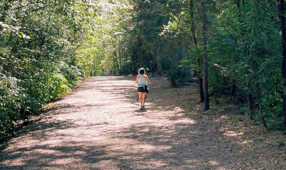
Port Moody has an extensive network of trails – 18.5 kilometres directly managed – which includes everything from wide paved and gravel paths, to the narrow dirt tracks carving up forest paths.
The plan sets out four key goals: enhancing the quality of user experiences, expanding connections for recreation and active transportation, safeguarding culturally and environmentally sensitive areas, and fostering community stewardship.
Guided by two phases of public engagement that drew nearly 700 survey responses, dozens of pop-up participants, youth input, and workshops with community groups, residents highlighted trails as the most-used recreation amenity the city has to offer.
“That has been true through many different surveys and public engagements carried out over previous years – even decades,” said Camille Lefrançois of Diamond Head Consulting, which helped draft the strategy. “The plan is really intended to guide how the city is managing and improving its trail network over time.”
The plan calls for better signage, more amenities like washrooms and benches, improved accessibility, and new routes to ease congestion on increasingly busy paths. Shoreline Trail, for instance, is used by around 3,000 people daily during peak times in mid-August.
While most neighbourhoods enjoy access to trails within a five-minute walk, neighbourhoods like Glenayre, Seaview, College Park, and Coronation Park show significant gaps – and are expected to see major growth by 2050.
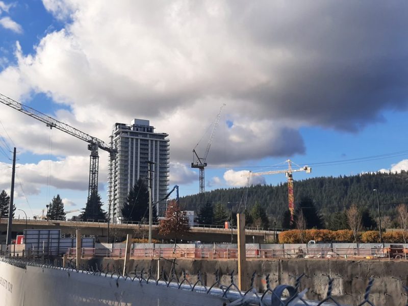
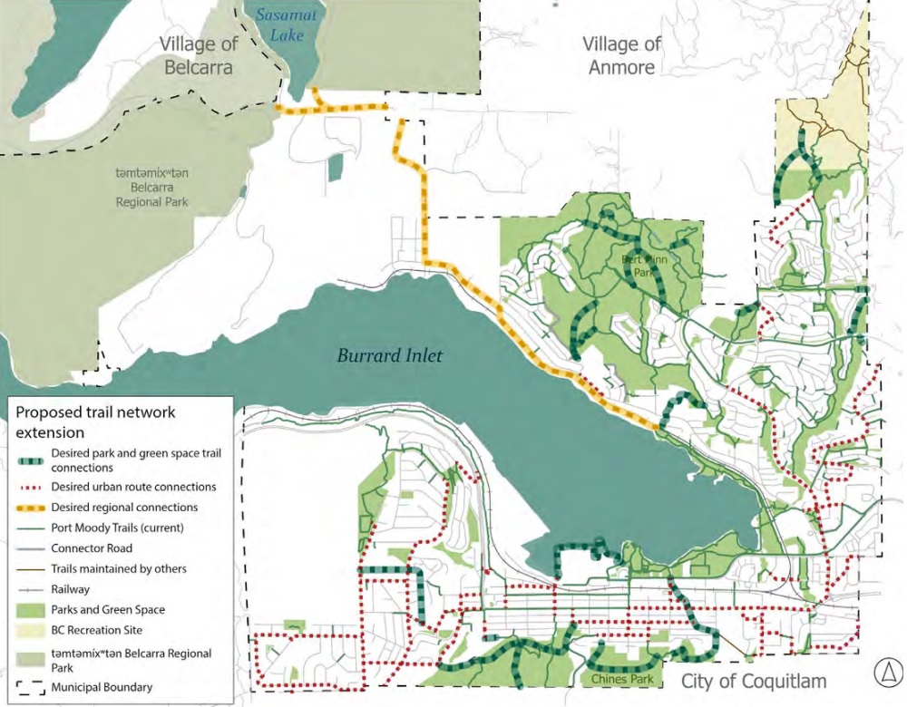
Proposed network improvements include new connections across Chines Park linking local schools, greenway extensions toward Belcarra, formalized trails in Bert Flinn Park and Eagle Mountain, and implementing an Ioco Road overpass as part of the Inlet District (formerly known as the Coronation Park) development.
The plan also prioritizes accessibility, with reviews of current urban multi-use trails, universal design for new paths, and clearer wayfinding signage. Other actions include the Dog Management Strategy, updated e-scooter regulations, and collaboration with neighbouring municipalities to improve cross-boundary trail links, including the Trans Canada Trail and Metro Vancouver’s Regional Greenway.
Possible new routes and connections have been highlighted in a trail-extension map, however, Lefrançois noted that none of these routes have been confirmed.
“The intent is really to identify some desired locations for future trails that will need to be reviewed with further studies by staff to assess whether or not they’re feasible and can be implemented,” she said. “But it is certainly a first step.”
Much of Port Moody’s trail network lies within environmentally sensitive areas, and the plan commits to proper assessments before any new construction takes place, use of barriers to protect habitats, and stronger enforcement against illegal trail building.
It also integrates Reconciliation initiatives, such as incorporating Indigenous place names and interpretive signage, and supporting projects like the installation of Coast Salish house posts along the Shoreline Trail.
First Nations input was sought to help shape the plan. The Tsleil-Waututh Nation emphasized protecting culturally significant sites and celebrating Indigenous language and culture through signage; while the Kwikwetlem Nation stressed the importance of early consultation and archaeological assessments before any construction.
The plan is phased with short-term (one to five year), medium-term (five to 10 year), and long-term (10 to 15 year) goals, with costs for certain actions ranging upwards of $100,000.
Some of these actions include new trail construction and amenities like lighting, washrooms, and furniture, along with increased maintenance budgets.
Additional capital and operational expenditures will be required, but the city expects to be able to leverage grants, partnerships, and volunteer contributions alongside municipal funds.
Coun. Amy Lubik said that she appreciated the plan’s focus on accessibility, stating that new washrooms have been a sticking point on municipal committees for years.
“I understand that it is one of the more expensive recommendations, but I hope that we can look at that sooner than later,” Lubik said.
Mayor Meghan Lahti highlighted the emphasis on creating better connections through the trail network, and inquired whether staff could reestablish old trails which have been unmanaged and overgrown. Staff said they would investigate.
Council’s endorsement means the plan will now serve as a guiding framework for trail investments, partnerships, and stewardship programs going forward. Monitoring will include user satisfaction surveys, conflict reports, trail usage data, and ecological health checks.
Lubik introduced a followup motion, asking staff to report back on potentially incorporating information about plants and foods that were culturally or medicinally significant to First Nations onto the trail network. The motion passed unanimously.
“This fits very well with our Reconciliation strategy,” Lubik said. And it’s something that a number of our neighbouring municipalities are doing.”
Author