Coquitlam braces for ‘vigorous’ storm; up to 90mm of rain forecasted
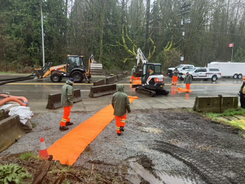
Three weeks after a deadly atmospheric river hit the city, city staff and crew are preparing for the latest rain storm
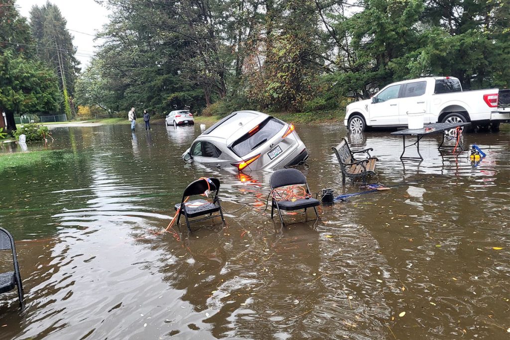
A rainfall warning has been issued in Coquitlam, roughly three weeks after an atmospheric river flooded more than 100 homes in the Tri-Cities.
The storm, expected to make landfall Tuesday evening and run through Wednesday, is forecast to bring anywhere between 50 to 90 millimetres of rain to Coquitlam, the North Shore and portions of Ridge Meadows.
It may also impact travel throughout northern sections of Metro Vancouver, causing pooling on roads and heightening the risk of washouts, rockfalls and landslides, according to Environment Canada.
Local news that matters to you
No one covers the Tri-Cities like we do. But we need your help to keep our community journalism sustainable.
“A vigorous Pacific frontal system will move over the B.C. coast tonight into Wednesday,” the federal weather agency wrote in a statement Tuesday morning.
“Watch for possible washouts near rivers, creeks and culverts.”
It’s the first major rainstorm to hit Coquitlam since an atmospheric river dumped more than 250 millimetres of rain on the city in a 24-hour period last month — claiming the lives of two residents and resulting in more than 100 flooding-related calls in Port Coquitlam and Coquitlam
The upcoming storm isn’t expected to be as bad as the October atmospheric river, noted Kathleen Vincent, the city’s senior manager of communications, in an email to the Dispatch.
But there is still a risk of localized flooding.
“Coquitlam residents are advised to prepare for up to 90 mm of rain and high streamflow in our rivers over the next 36 hours,” Vincent wrote.
Roughly 200 mm of rain was recorded at the Burke Mountain rain gauge on Oct. 19. Between 50 to 90 mm are expected across the whole city over the next 24 hours.
Since Oct. 20, the Burke Mountain gauge has recorded more than 25 mm in a single day three times: Oct. 22 (26mm), Nov. 1 (25.8 mm) and Nov. 4 (50 mm).
The River Forecast Centre, a provincial body that monitors snowpack and flood risk in B.C.’s rivers and streams, declared a ‘high streamflow advisory’ for Metro Vancouver and coastal parts of the province.
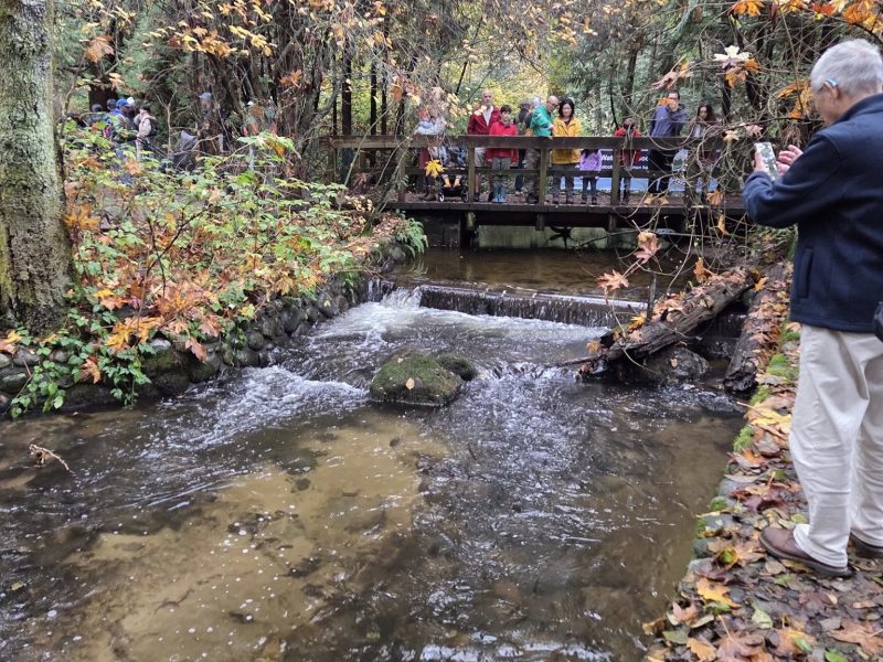
Coquitlam, a city that has more than 300 kilometres of waterways, is advising residents to avoid rivers and creeks for the duration of the storm.
“Fast-flowing rivers pose a higher risk to life safety. We urge residents to stay clear of fast-flowing rivers and creeks, including potentially unstable riverbanks,” Vincent wrote.
The October atmospheric river, described as a ‘once in 200-year event’ by Coquitlam engineering staff, brought two and a half times more rain to the city than the 2021 atmospheric river that caused significant flooding across the Lower Mainland.
Although staff were proactive in preparing for the atmospheric river last month, the volume of rain outpaced the city’s pipe and drainage network, which are designed to handle one-in-10 and 25 year storms, respectively.
Coquitlam’s major drainage systems for creeks and culverts are capable of withstanding one-in-100 year storms, a flood or rainfall event that has a 1 per cent likelihood of occurring every year.
Ahead of the latest storm, the city completed a few preventative measures such as clearing catch basins, monitoring water levels in the Fraser and Coquitlam rivers and having additional staff ready to respond to emergencies, among other initiatives.
“City crews are actively sweeping roadways to clear the extra debris scattered by this past weekend’s heavy winds,” Vincent wrote.
Residents are also encouraged to clear gutters and catch basins to prevent leaves from clogging drains, and refrain from blowing leaves onto roadways.
Environment Canada also issued wind warnings for B.C.’s south coast on Tuesday.
Wind gusts of up to 60 kilometres per hour are expected in Metro Vancouver until Wednesday evening, a time when the rain is also projected to let up in Coquitlam and the North Shore.
For more updates on the upcoming storm and weather warning, click here.
Author